
Projecting the Future of Global Energy Systems
The future of global energy systems is marked by significant uncertainty and unpredictability. Many organizations have invested considerable effort in


The future of global energy systems is marked by significant uncertainty and unpredictability. Many organizations have invested considerable effort in

The global push towards renewable energy is an essential step in addressing climate change and ensuring a sustainable future. Central to this movement

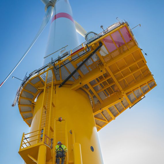
The offshore wind energy sector is rapidly expanding and plays a crucial role in the transition to a more sustainable future [1]. Despite signif
What Andrea Gulisano says